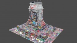
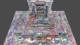
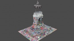
Scanning Robert E. Lee
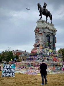
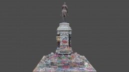
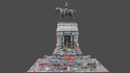
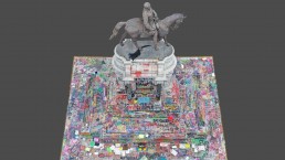
On June 4, 2020, Virginia governor Ralph Northam announced the intended removal of the Robert E. Lee monument. The announcement started a conversation with my girlfriend, Amy Moorefield, who spent many years of her adult life in Richmond working as a museum professional. She told me a story about the first time she saw the statues along monument avenue and how they felt like a constant presence looking over the city, and how Robert E. Lee seemed to rule over them all. Her story motivated me to document the monument prior to its removal. A little less than 2 weeks later I drove down to Richmond, VA – the city that once served as the capital of the confederacy – to scan the monument.
While I do scan monuments – as well as other objects – for a living, this project was purely personal. I felt strongly about documenting this pivot in history and wanted to make sure the state of the monument was captured for future generations to see. No matter what the fate of the monument it self turns out to be, this model will serve as a marker in time for the year 2020.
The support I have seen for this project so far has been amazing and I want to thank everyone who has reached out with questions and kind words. Many, many people have asked about downloading a copy of the model, and I wanted to let everyone know that I am in the process of making that happen. Scan data is very dense and not suitable for most applications, so I am in the process of optimizing the model for public release. It will be suitable for animations, VR and Gaming.
While in the process of optimizing the model for public distribution, I have also been in talks with a few public organizations about becoming the public stewards of the model moving forward. I think that it is important for a museum or other cultural organization with ties to Richmond to oversee a copy of the model for the public archives. Once those talks are compete, I will announce updates on this page and social media.
How it was done
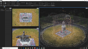
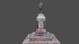
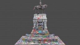
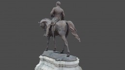
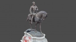
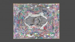
Using a small UAV (DJI Mavic 2 Pro) and a handheld camera (Sony A6000), I photogrammetry scanned the monument and created this mesh. Photogrammetry is the process of taking many overlapping images of an object, from as many different perspectives as possible, and then using computer software to reconstruct those images into a scale 3D model. The process also produced high density point clouds and super high resolution orthomosaics of the facades of the monument. The data set used to create the model consisted of 800 + photos. The model was reconstructed, edited and animated entirely in Reality Capture.

